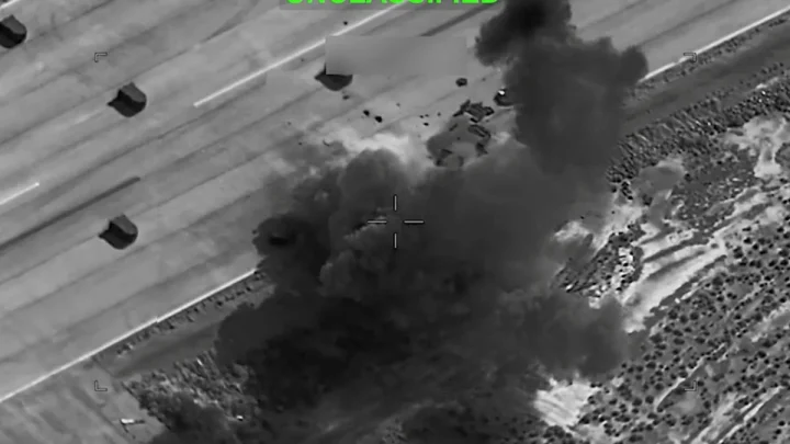
GPS Went Dark Before Deadly Crash Sparks New Questions Over Secret Military Jamming
GPS went dark before deadly crash – In a tragic incident that occurred in New Mexico last month, a medical plane crash claimed the lives of four individuals, prompting federal investigators to uncover a critical issue: the aircraft’s GPS system had malfunctioned just before the disaster. The National Transportation Safety Board (NTSB) released its initial findings, revealing that military interference with GPS signals was present in the area at the time of the crash. This discovery has raised significant concerns about the potential risks of covert jamming operations and their impact on aviation safety.
The crash took place in the early hours of May 14, as the plane attempted to land in the remote Capitan Mountains near Ruidoso. Pilots had previously been warned about the possibility of GPS disruptions in the region, yet the sudden failure of the system left them relying on alternative methods to navigate. Despite these warnings, the accident occurred, highlighting a gap between preparedness and execution in high-stakes situations.
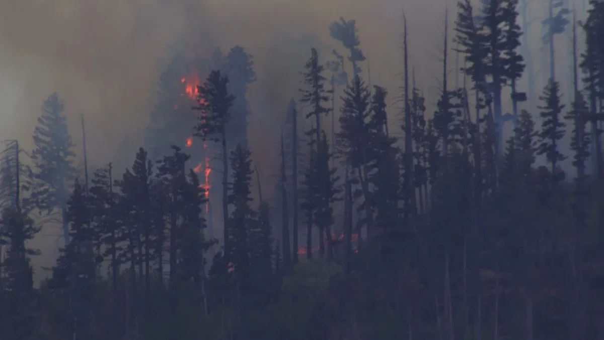
The crash also ignited a wildfire that raged for several weeks, consuming 49.8 square miles (128.9 square kilometers) of forested land before it was fully contained by June 12. Remarkably, no structures were damaged in the blaze, which underscored the rugged, unpopulated nature of the area. Ruidoso, a small mountain town with a population under 8,000, lies at the base of the Sierra Blanca range, a region known for its dense forests and challenging terrain within the Lincoln National Forest.
The NTSB’s preliminary report outlined the sequence of events, including the GPS signal loss and the pilots’ attempt to land visually. However, the board has stated that a conclusive determination of the crash’s cause will only be possible once its final report is published next year. This delay has left aviation experts and officials grappling with unanswered questions about the role of military jamming in the incident.
According to the report, air traffic controllers were aware of the GPS disruptions and provided headings to assist the pilots during their approach. Despite these efforts, the pilots chose to proceed with a visual landing, believing they could see the runway. The decision, however, proved fatal when the plane collided with a mountainside just 230 feet (70 meters) below the Capitan Mountains Summit Radio Facility.
“The loss of GPS should not result in the loss of an airplane, so there’s got to be more to it than that,” remarked John Cox, a retired airline pilot and CEO of Safety Operating Systems. Cox emphasized that while GPS is a powerful tool, its absence should not compromise safety if pilots are adequately trained to use backup systems. His comments reflect growing scrutiny of the reliance on satellite navigation in aviation.
The Federal Aviation Administration (FAA) had issued a Notice to Airmen earlier warning pilots about potential GPS interference near the Army’s White Sands Missile Range, which is approximately 40 miles (65 kilometers) from Ruidoso. This range, known for its extensive testing of military technology, has been a site of occasional signal disruptions. The NTSB noted that controllers had reached out to the military before the crash, prompting a temporary halt in jamming activities. Yet, the pilots’ confidence in visual navigation led to the disaster.
Aviation safety expert Steve Arroyo, a veteran pilot for United Airlines, highlighted the critical role GPS plays in modern aviation. “GPS can bring you in precisely with a margin of safety that’s required and bring you down for landing,” he said. “But if you don’t have GPS, you can’t make that approach within those margins and you may drift outside using conventional navigation.” Arroyo’s analysis underscores how reliance on GPS, despite its advantages, can create vulnerabilities in certain conditions.
“If you can see the runway, you can see the mountain. Why would you fly into it?” Cox questioned, pointing to the ambiguity surrounding the pilots’ final decision. The incident has sparked debates about whether the military’s jamming efforts were intentional or inadvertent, and whether the pilots had sufficient awareness of the risks involved.
While the FAA’s warning should have alerted medevac pilots to the possibility of signal loss, the crash suggests that even with prior knowledge, the situation was not adequately anticipated. The aircraft, operated by Generation Jets and Trans Aero MedEvac, was traveling from Roswell Air Center to Sierra Blanca Regional Airport when it crashed. The victims included two pilots—Keelan Clark and Ali Kawsara—and two flight nurses—Jamie Novick and Sarah Clark.
Experts argue that the crash could have been prevented if the pilots had adhered to standard procedures for instrument landings. The incident has also prompted a review of how military operations might affect civilian aviation, especially in regions where GPS is the primary navigation tool. As the NTSB continues its investigation, the focus remains on understanding the interplay between technology, terrain, and human decision-making in the skies over New Mexico.
With the final report still months away, the tragedy serves as a reminder of the complexities involved in modern air travel. GPS jamming, once a specialized military tactic, now has the potential to disrupt even routine flights, raising concerns about transparency and preparedness. The NTSB’s findings, while preliminary, have already sparked a broader conversation about the balance between national security and aviation safety in an increasingly interconnected world.
For now, the crash stands as a sobering case study in the challenges of navigating vast, mountainous regions without reliable satellite signals. As investigators piece together the sequence of events, the question remains: how prepared were the pilots for the unexpected, and what safeguards were in place to prevent such a loss?